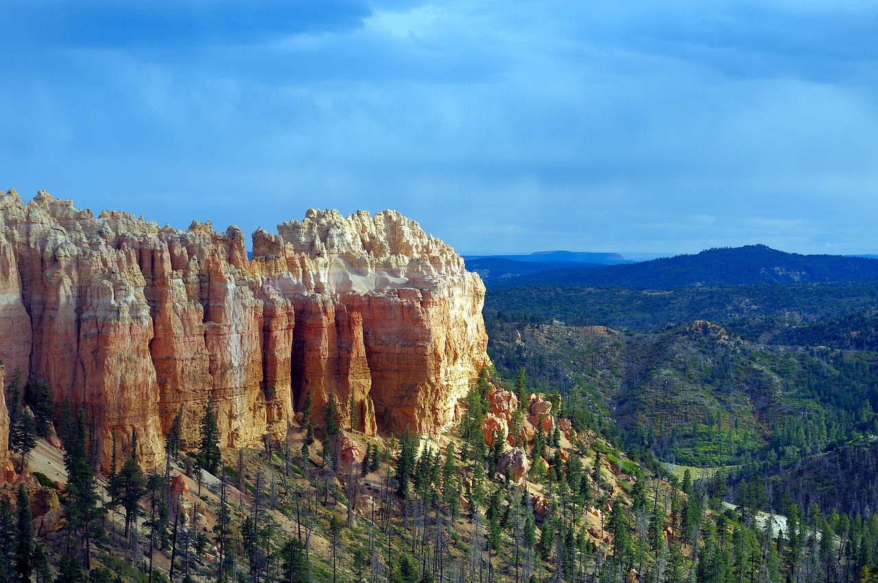
Bryce Canyon National Park
A stadium of hoodoos at nine thousand feet
⏱ Full day👤 All ages$$
Get Tickets
Get Bryce Canyon Tickets
Skip the line · mobile tickets accepted at the door
Bryce rewards the early riser more than any park in this guide. The amphitheater faces east, so the first sun hits the hoodoos straight on and sets the whole bowl glowing — Sunrise Point and Inspiration Point are the classic standpoints, and an hour there before breakfast is the visit many people remember most. The geology is pure Grand Staircase: the Claron Formation's soft limestone erodes through frost-wedging, with meltwater freezing in cracks on a huge number of nights each year, prying the rim into fins and then spires. That cold engine is why the park feels alive — rockfall and ice regularly reshape trails, and some sections close seasonally. The name comes from Ebenezer Bryce, a Mormon pioneer who ranched below the amphitheater in the 1870s and is remembered for calling it a hell of a place to lose a cow; it became a national park in 1928.
For a single visit, the Navajo Loop and Queens Garden combination is the right hike: down through narrow switchbacks among towering hoodoos, along the floor past formations like Thor's Hammer, and back up a gentler grade to Sunrise Point. Those with more energy can add the Peekaboo Loop for a longer, steeper circuit through the amphitheater, or tackle the quieter, roughly eight-mile Fairyland Loop from Fairyland Point, which sees a fraction of the crowds. Families with small children can stay on the flat Rim Trail between Sunset and Sunrise points, which delivers the same views without the climb. Drivers should take the scenic road south to Rainbow and Yovimpa points, stopping at Natural Bridge on the way back. Bryce is also a celebrated dark-sky park, and ranger astronomy programs run in season.
Practicals: from Page, take US 89 west to Kanab, north through Mount Carmel Junction, then State Route 12 east to the park road — about two and a half hours. Utah observes daylight saving time while Arizona does not, so the clock may jump an hour. Ruby's Inn and the town of Bryce Canyon City outside the entrance handle food and fuel. Combine Bryce with Zion on a two-day loop out of Kanab, or with Red Canyon's free roadside hoodoos on Scenic Byway 12.
What to Expect
Format
A two-and-a-half-hour drive north to a high-plateau rim lined with viewpoints over the hoodoo amphitheater, the Navajo Loop and Queens Garden hike among the spires, and an 18-mile scenic road to Rainbow Point. Per-vehicle entry.
Best Time
Sunrise, without question. Late spring through fall for hiking; winter brings snow-capped hoodoos and icy trails. Summer afternoons can bring thunderstorms.
Duration
A full day from Page, or the second day of a Zion-and-Bryce loop.
Tips
Bring warm layers even in summer — the rim is eight to nine thousand feet. The free shuttle only runs in the warm season. Climbing out of the amphitheater at altitude is harder than it looks; carry water.
⚡ Quick Picks
Best For
Photographers and anyone who wants the strangest landscape on the Grand Circle.
Families
The flat Rim Trail between Sunset and Sunrise points gives kids the full view without the climb.
Couples
Sunrise at Inspiration Point with a thermos, then the Queens Garden walk while the light is still soft.
Pair With
Zion on the same overnight loop, or the Toadstool Hoodoos on the way home for a smaller-scale echo.
Time Needed
A full day from Page.
Ready to book Bryce Canyon?
Get Tickets →Frequently Asked Questions
Is Bryce worth it after the slot canyons?
Yes — it is a completely different landscape: thousands of limestone spires seen from above, at high altitude, in cool air. It complements Page rather than repeating it.
What is the best hike for one visit?
The Navajo Loop combined with Queens Garden, about three miles round trip from Sunset Point to Sunrise Point, with a steady climb back out. Check for seasonal trail closures first.
Does the shuttle run all year?
No. The free shuttle runs in the warm season; it has ended for 2026 and is expected back in April, so you drive the scenic road yourself until then.
How cold does it get?
Much colder than Page — the rim sits around eight to nine thousand feet. Even summer mornings can be chilly, and snow is common from late fall into spring.
How far is it from Page?
About two and a half hours via Kanab, Mount Carmel Junction and Scenic Byway 12. Many travelers pair it with Zion and sleep in Kanab between them.
More Antelope Canyon Attractions
Browse all →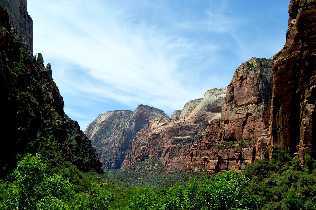
Zion National Park
Utah's towering sandstone cathedral, two hours west — in through the east side's checkerboard slickrock and the famous tunnel, then down into the canyon for the shuttle, the Riverside Walk and, with luck and a permit, Angels Landing.
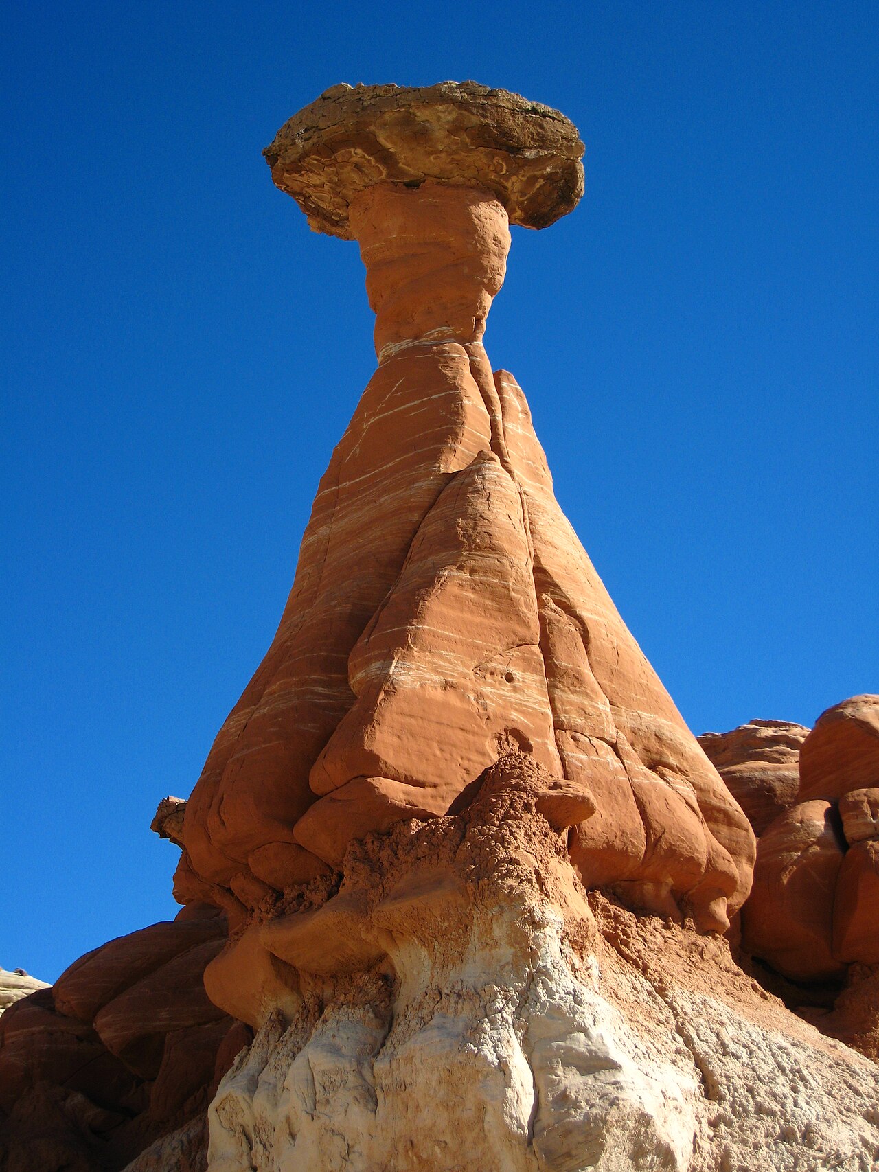
Toadstool Hoodoos
The free weirdness up the road — a short, flat desert walk off Highway 89 to a badlands amphitheater of mushroom-capped rock spires on the Utah line. Page's best zero-dollar add-on, golden at day's edges.
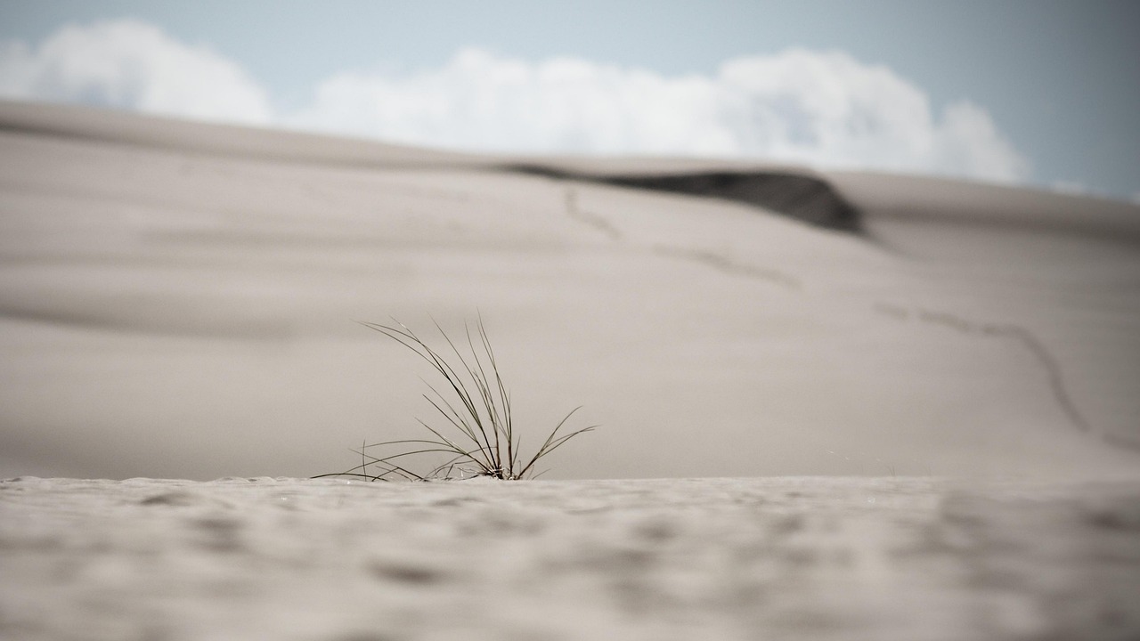
Coral Pink Sand Dunes State Park
A field of rose-colored dunes in a mountain notch near Kanab — rent a sandboard or sled, climb the ridges barefoot, or ride the OHV trails. The Colorado Plateau's only major dune field, and the region's best family play day.